Statistics for Development Division (SDD) provides technical assistance and capacity building development to support a regular programme of population and housing censuses and household surveys in Pacific Island member countries.
The use of Geographic Information Systems (GIS) is one of the technical areas included in this technical assistance and capacity building plan. SDD has been offering regular technical support to delineate, maintain and update Enumeration Area frameworks, produce enumerator maps, monitor field work activities and develop cartography products to present and disseminate census results.
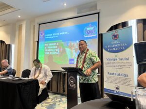
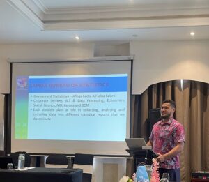
The training was held at Tanoa Tusitala Hotel for 8 days from Nov 13th – 22nd 2024, to tailor the training to SBS’s GIS capacity building needs. These were the main topics and the main focus of the training.
1. Improving skills with open-source GIS software QGIS as currently SBS mostly works with ARC GIS and MapInfo which come with issues related to the licenses update and additional tools availability to perform certain tasks. QGIS is free, it is kept up to date regularly and comes along with all the tools available with no restrictions.
2. Methodologies for HH locations capturing for different purposes such as household framework update, survey design, map production and many other technical areas of Mapping.
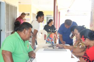
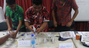
3. Three GIS and data collection methodologies were thoroughly discussed with hands-on exercise to familiarise the staff so that they can understand the pros and cons of each of the method.
4. Tools for GIS data monitoring and processing such as built-in tools in QGIS and R environment to implement and streamline field data monitoring on real time and processing and correction of GIS data (waypoints and EA codes).
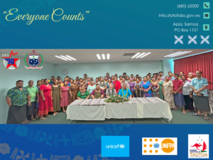
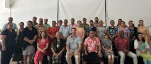
The Government Statistician, Afioga Leota Aliielua Salani and Mr Luis De La Rua, the training technical adviser and SPC representative had the honour to present the participants with their certificate of completion during the closing ceremony on the last day.


 Highlights:
  Insights on food consumed away from home, captured in the HIES – highlighting its growing impact on